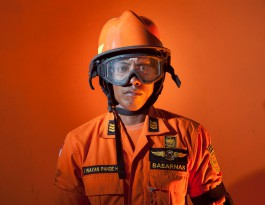
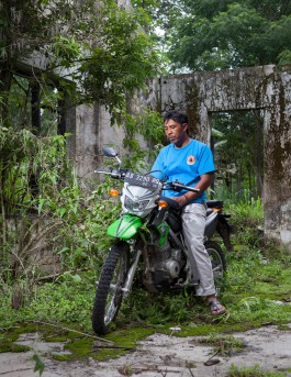
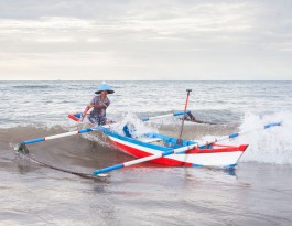
A crewman of search and rescue in Bali.
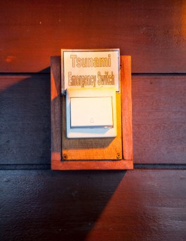
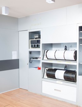
Emergency switch in a hotel in Bali.
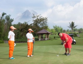
Golf course on the Merapi Volcano in Central Java
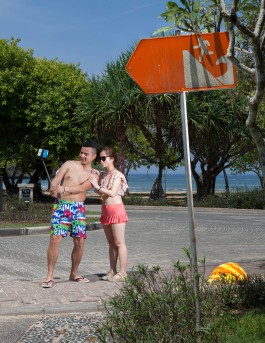
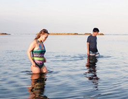
Chinese tourists in Nusa Dua, Bali.
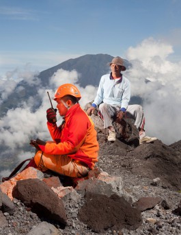
Noer Cholik, a volcanologist and his porter working on top of Mount Merapi
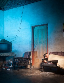
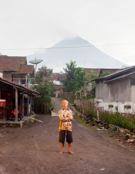
Bapak Gimin in his living room. He lives in one of the last villages before the crater. In the photo, he shows how his grandfather protected himself during the last eruption

A Souvenir, sold at Mount Merapi.
Two japanese tourists in Nusa Dua, Bali. The stones in the back serve as wave breakers for possible Tsunamis.
Two japanese tourists in Bali. The stones in the back were placed there as wave-breakers.
A boy during a tsunami exercise of a school in Jimbaran on Bali.

Noer Cholik, in the vulcanology center in Jogjakarta.
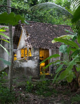
Disaster Management Volunteer Supriono in a house which was destroyed during the 2010 eruption of Mount Merapi.
Dario Rejo in Painem. His house was destroyed during the 2006 earthquake in Yogyakarta.

A tourist at Single Fin, Bali. On this beach, the threat of a tsunami is particularly acut
Object at a Tsunami threatened area of Bali.
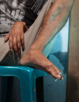
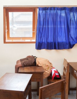
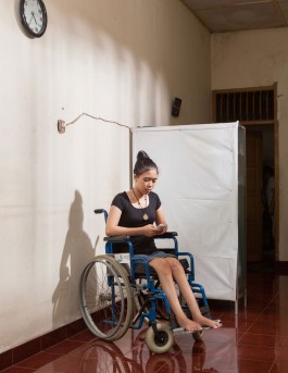
Young man, paralyzed by the big earthquake in the Jogjakarta area.
A young man, paralyzed by the big earthquake in the Jogjakarta area.
The Shaman of Banaran Keningar, one of the highest towns on Mount-Merapi. In case of an upcoming eruption many villagers rather listen to the advice of a Shaman than to the official authorities.
The Shaman of Banaran Keningar, one of the highest towns on Mount-Merapi. In case of an upcoming eruption many villagers rather listen to the advice of a Shaman than to the official authorities.
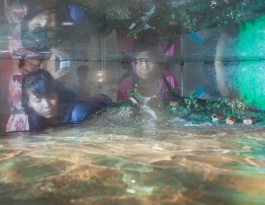
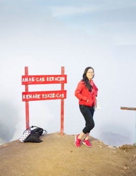
An Installation in one of the museums on top of Mount Merapi. Here you can simulate a Tsunami building up.
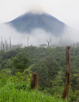
Mount Merapi is the most active volcano in Java and has persistent minor eruptions, but according to volcanologists Mount Merapi is heavily overdue a large-scale eruption which could potentially put over 1.1 million people at risk.
Earthquake-damaged house in Central-Java.
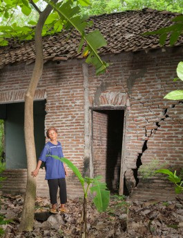
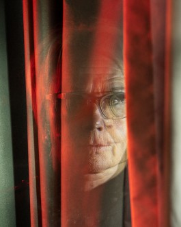
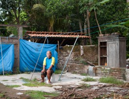
A women in front of her old house in Painem, Central-Java. After an Earthquake it was destroyed and she was displaced.
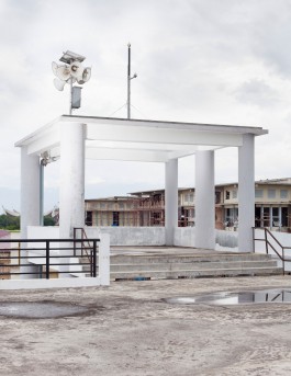
Tsunami-Alarm tower in Bali.
Tsunami-Alarm tower in Bali.
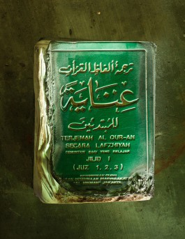
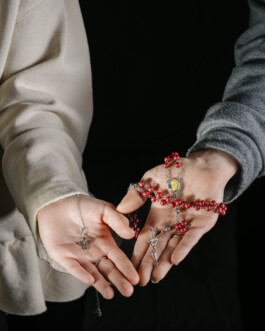
A Quran recovered from the ashes of the 2010 eruption of Mount Merapi.
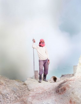
A sulfur-miner in the crater of Mount-Ijen.

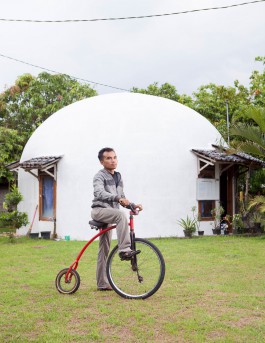
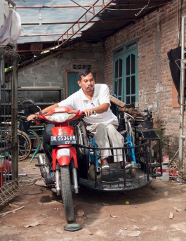
Tourists on Mount-Merapi.
A man in front of a residential house in the so called Teletubbie-village. The village was built after an earthquake destroyed an older village nearby. The houses are designed to be earthquake proof.
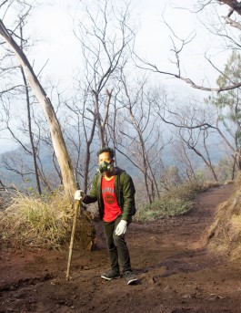
Aguss on Mount Ejin in Java. He is working as a tourist guide.
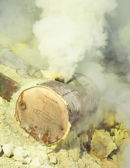
A sulfur mine in the crater of the Ijen volcano.
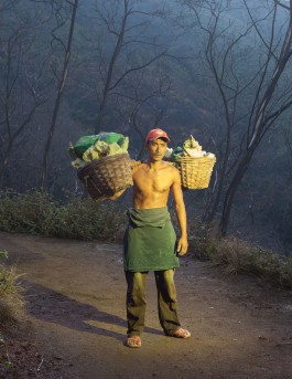
A sulfur miner bringing sulfur out of the crater of Mount Ijen.
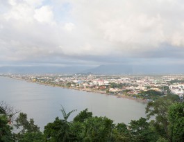
Across Padang city there are areas of subduction, which can trigger a powerful earthquake and generate tsunamis in the near future.

Girl in Padang, Sumatra
Tsunami-shelter in Padang, West-Sumatra.
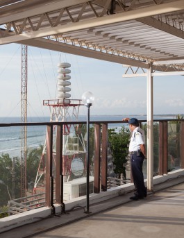
Tsunami-Alarm tower in Bali.
Ariyana was a victim to the 2006 earthquake in Jogjakarta.
The vulcanology center in Jogjakarta.
A fisherman in a town of Sumatra. The word Tsunami is Japanese and originates from fishermen who, only when coming back from sea noticed that there has been a Wave in their Harbour.

Poster found in the search and rescue offices in Bali. It says: Safety is not a coincidence !!!
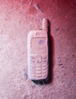
Mobile phone recovered from the ashes of the 2010 eruption of Mount-Merapi.
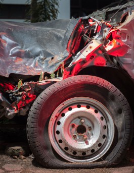
A car destroyed by the 2009 earthquake in Padang, West-Sumatra.
Parma from Imogiri. He was injured during the 2006 earthquake in Central Java.
Tourist on top of Mount Ijen. There are lots of tourists walking up and down the crater all night and all day long, together with the sulfur miners who are working there.